
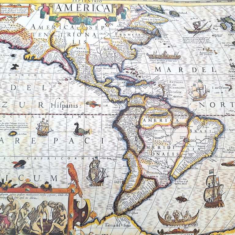
Map of America 1628. - J. Hondius Reprint - M1628
Product code: 321582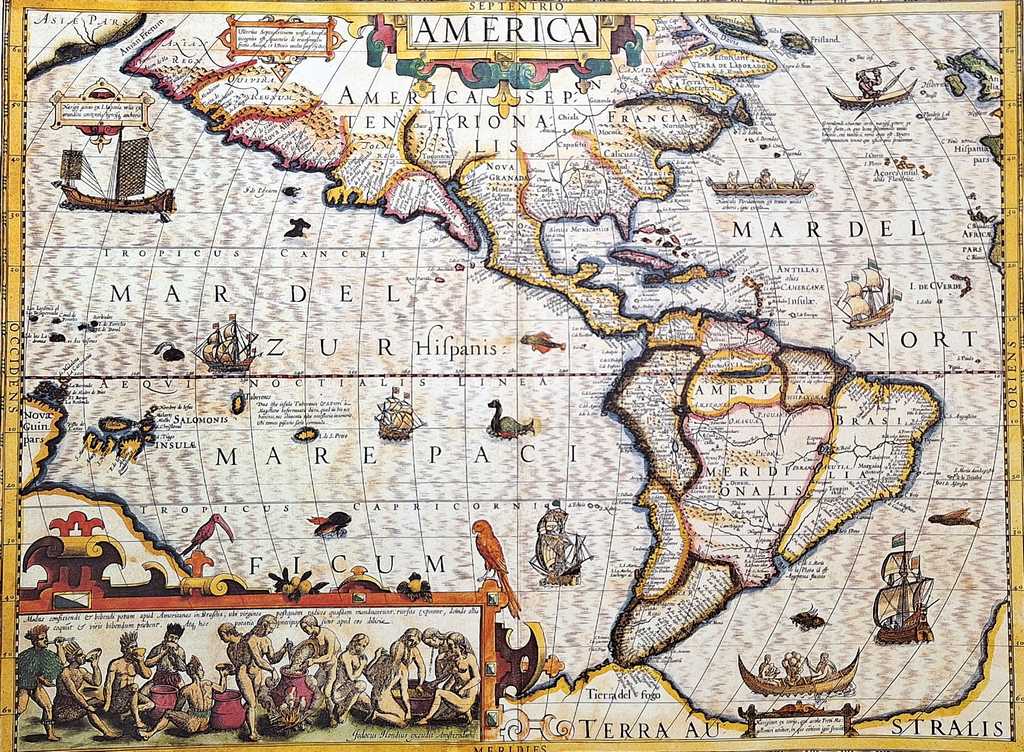
Map of America 1628. - J. Hondius Reprint - M1628
Historical map of the Americas is a unique decoration that will adorn any room with an air of discovery. It will be a perfect gift for the traveler and historian.
Product information:
- Dimensions: 37,5 x 50 cm
- Tube for storing the map included
- Reprint print prepared with the greatest care to resemble the original map.
History of the map
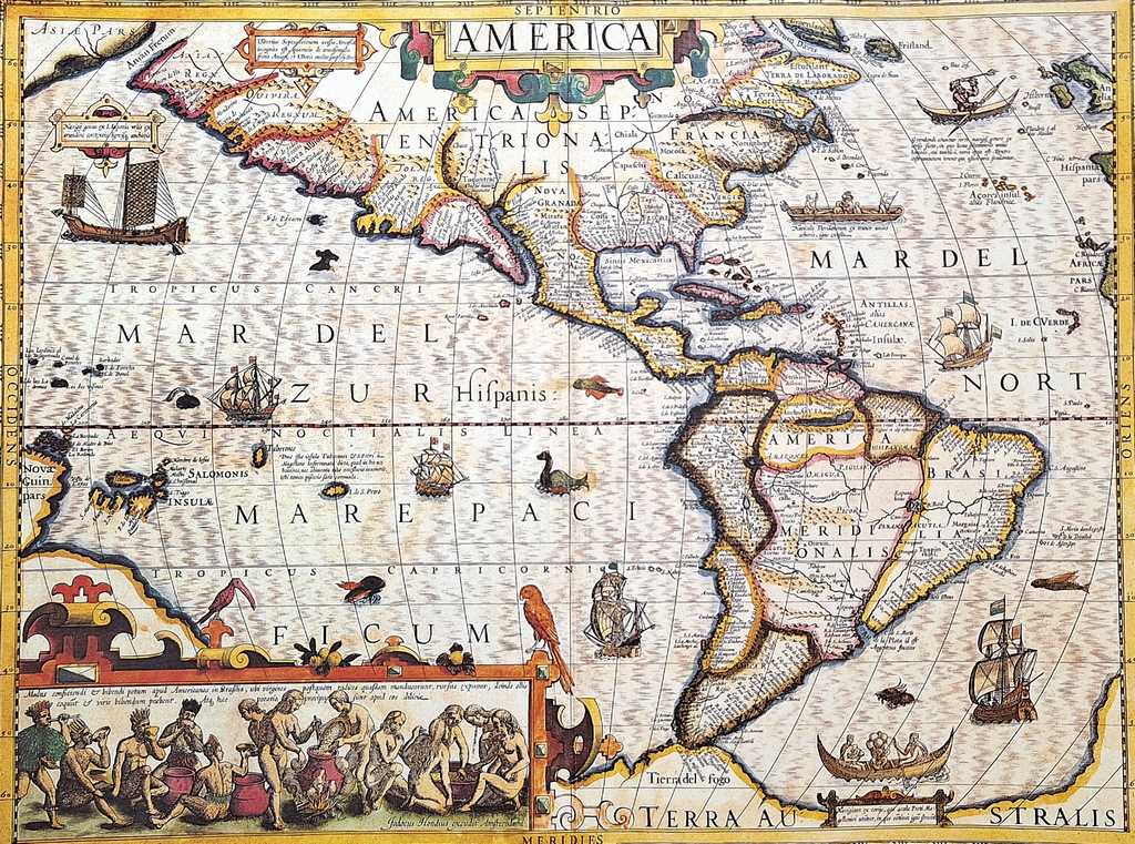
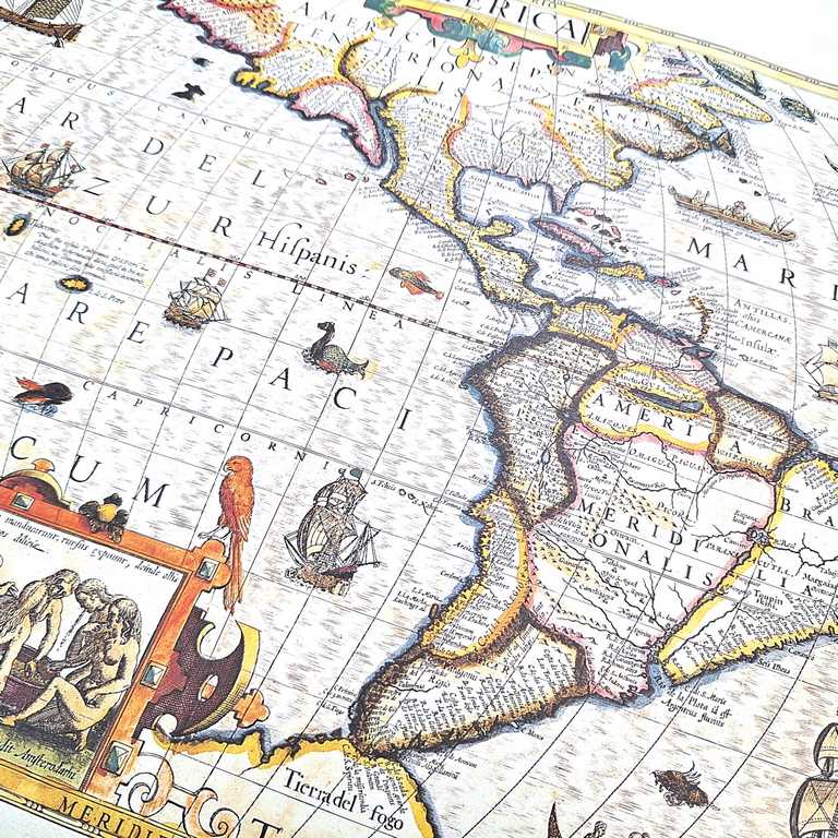
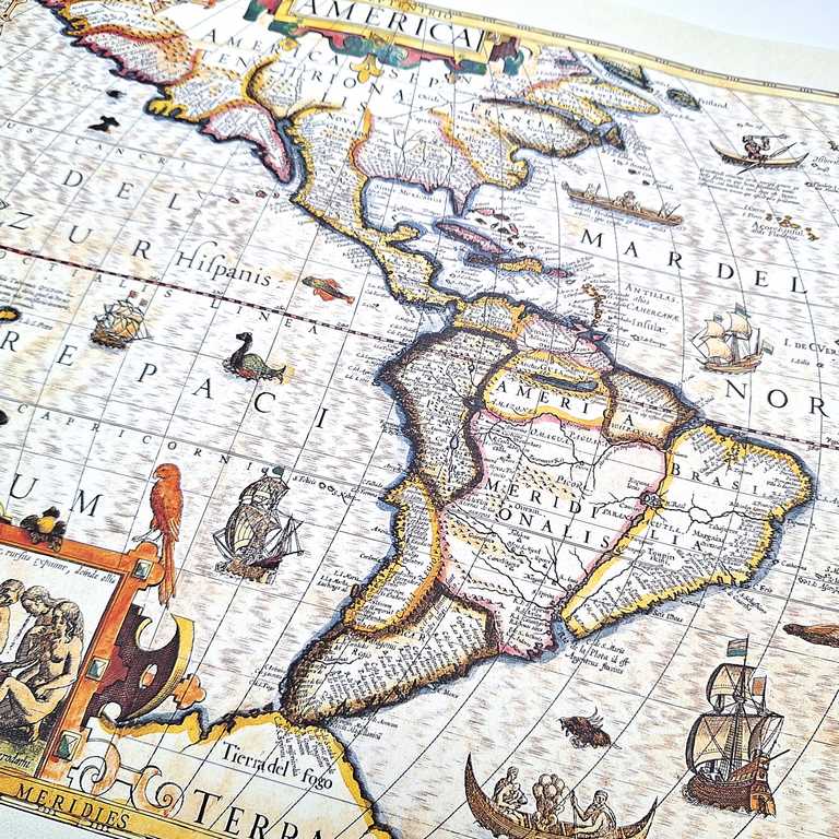
Made by Jodocus Hondius in 1604, the map shows the continents of North and South America. A distinctive feature of the map is its rich decorations - the map features images of various beasts, ships and other decorative elements. The map contains plenty of cartographic details. At the time of its first publication, it was intended to be the definitive representation of the continent. It offered a more accurate representation of the west coast of South America compared to Mercator's earlier maps. Hondius also narrowed the width of the continent.
The map also shows a variety of vessels from different cultures. A Japanese square-rigged ship can be seen to the west, while three European ships sail south. There is an image of a European ship and an indigenous canoe near the Strait of Magellan. In addition, the map features an image of a Greenlander in a canoe, holding a trident and wearing what appears to be a Santa Claus hat.
Another distinctive element of this map is in the lower left corner - it depicts Brazilian natives brewing cauim, an alcoholic beverage made from cassava root. The scene illustrates the process in which women chew the root to aid fermentation, while men consume the drink. These scenes and the native boats were inspired by the collections of Theodore DeBry, whom Hondius knew personally.
Jodocus Hondius was born in 1563 in Wakken, West Glanders. He became a manufacturer of globes and maps. He was one of the greatest specialists of his time. During his lifetime he produced some 40 maps and published an expanded Mercator Atlas. After his death in 1612 in Amsterdam, the business was run by his sons Jodocus II and Henricus.
- UPC
- 5906142321582
- Weight
- 0,3 kg
- Product code
- 321582
- Symbol
- M1628
You may also be interested in
